Map DPI resolution for Poll Cards

Hi All,

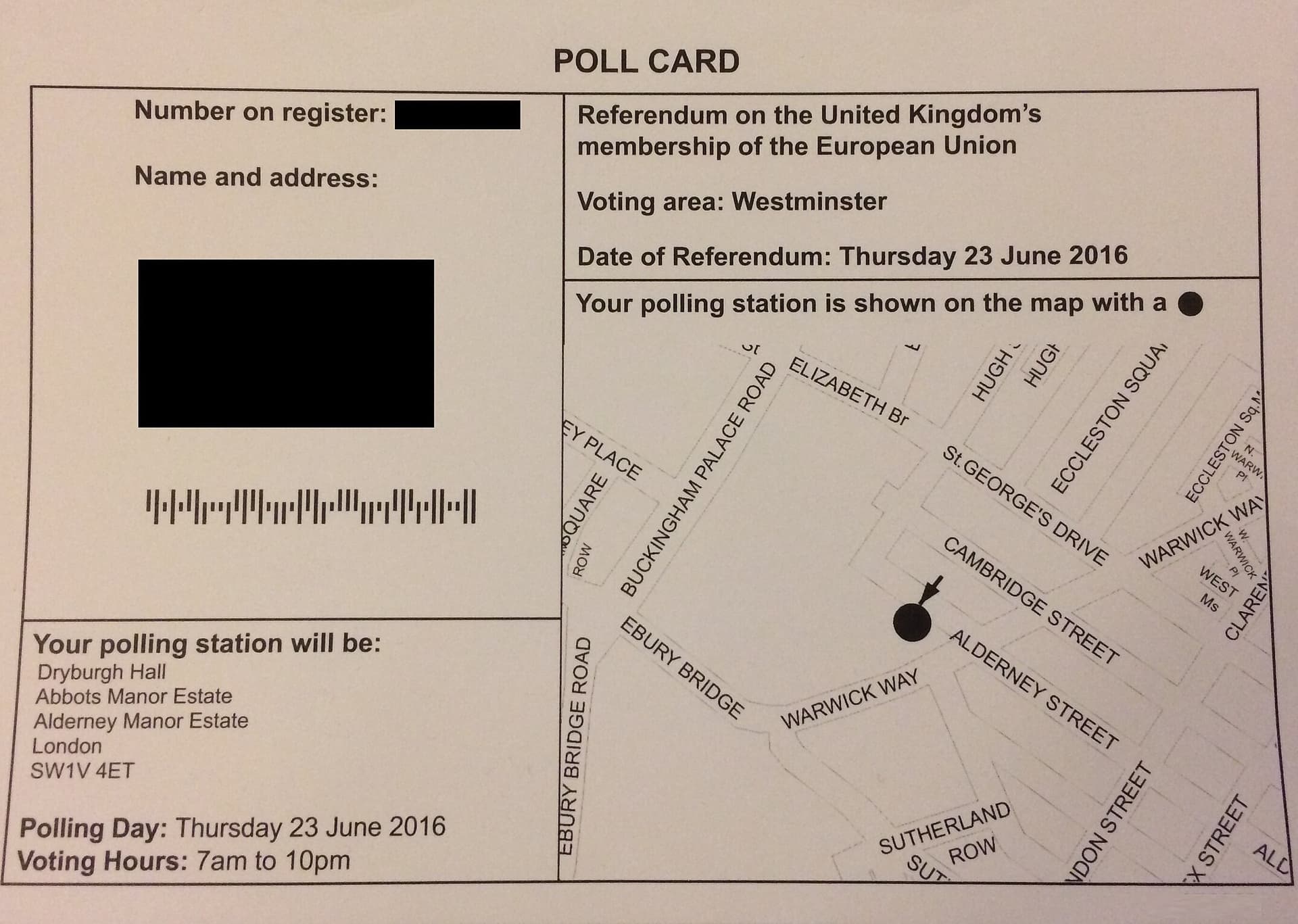
Our Electoral Registration team say they need to print Poll Card maps with a 900 dots per inch (DPI) resolution (and sized at 3507mm x 2622mm). However, StatMap Earthlight only allows for a maximum resolution of 300DPI and StatMap Ltd don’t have any plans to increase the print quality (My ref: REQUEST-1728).

Have others encountered this issue when trying to produce Poll Card maps within StatMap Earthlight and how did you get around it please?

Many thanks for any feedback.

Kind regards, Lee

Hello, Lee.

What is a Poll Card map?

Could you forward an example, please?

Kind regards,

Gordon

Hi @Gordon_StatMap, a ‘Poll Card Map’ is usually included in council voting packs to show people, on a map, where their nearest polling station is, as the attached example shows. Thanks, Lee

But is a polling card with dimensions of over 2 metres by 3 metres not rather too large to be of any use for members of the public?

Yes! That should have been pixels, sorry.